Map Graph

Fort Providence

Hamlet in Northwest Territories, Canada

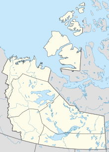
Fort Providence is a hamlet in the South Slave Region of the Northwest Territories, Canada. Located west of Great Slave Lake, it has all-weather road connections by way of the Yellowknife Highway branch off the Mackenzie Highway, and the Deh Cho Bridge opened November 30, 2012, near Fort Providence over the Mackenzie. The bridge replaced the ice bridge and ferry, enabling year-round crossing of the river.

Read article
File:Fort_Providence.jpgFile:NWT_All_Region_Locator.svgFile:Canada_location_map_2.svgFile:Fort_Providence_-_panoramio.jpgFile:Fort_Providence_Health_Centre.jpgFile:Fort_Providence_Church.jpgFile:View_of_Providence_Mission_Indian_Residential_School_showing_new_Roman_Catholic_Mission_on_the_left,_Fort_Providence,_NWT_(13929395680).jpgFile:Fort_Providence_Deh_Cho_Land_Use_Planning_Committee_&_Dene_Fur_Clouds.jpgFile:Merv_Hardie_ferry_from_Fort_Providence_side_05.jpgFile:Deh_Cho_Bridge_05.jpg
Top Questions
AI generated

List the top facts about Fort Providence

Summarize this article

What is the single most intriguing fact about Fort Providence?

Are there any controversies surrounding Fort Providence?

More questions